PROPERTIES OWNED
The Bailiwyck Property contains 58.5 acres and forms a buffer between the Bailiwyck subdivision off of Pleasant Road and Interstate I-77 in Fort Mill.
The Beers and Poe Tracts contain approximately 5.5 acres (York County Tax Map # 600-19-05-014 and # 6001905013) and provides open space adjacent to a subdivision on the southwest side of Rock Hill. The properties were acquired in December 2014.
The Civil War Battery Site is located between Red River Road and the Catawba River in Rock Hill on only a 0.3 acre parcel of land. The site was a battery for the protection of a railroad trestle across the Catawba River and is the highest point along this portion of the river, with an elevation of 550 feet. The dugout area where the battery was located is still visible. The property was acquired in February 1999.
The Drake Property contains 4.58 acres was acquired in December 2011 to form a connection between the Nation Ford Greenway and the Carolina Thread Trail.
The Love, or Brookside, Tract contains 75.42 acres (York County Tax Map #395-02-01-024) and protects open space adjacent to the Brookside subdivision in York and protects 39 acres of floodplain along Fishing Creek. The property was acquired in December 2015.
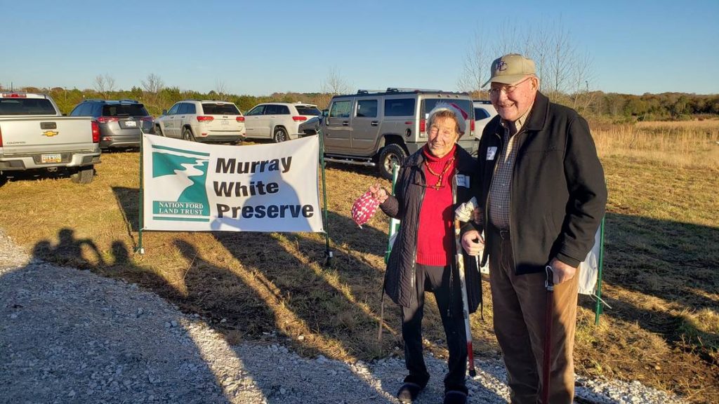
In December 2018, NFLT obtained property and established The Murray White Preserve, a 154.3-acre site which borders Fishing Creek off of Vernsdale Rd. just south of Rock Hill. This project will be used to generate funds for NFLT from tree farming, hunting leases and composting.
The Thomasson Tract contains 26.4 acres (York County Tax Map # 070-16-01-179) and provides open space adjacent to commercial development in York and protects floodplain along Langham Branch. The property was acquired in December 2014.
The Whitley Mills Property contains 27.97 acres and provides open space adjacent to a tributary of Jackson Branch to the south and west of Whitley Mills subdivision. The property was acquired in February 2007.
Total Acreage Owned: 352.97


